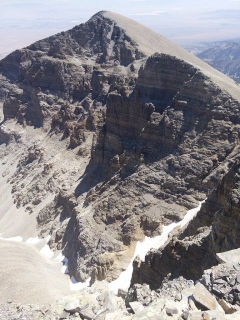
Bald Mountain is our botanically most diverse mountain top, I think because it's so flat, so there is lots of nice habitat. You can see me below with Jeff Davis and Wheeler in the background.
Some of the flowers include Silene acualis (the pink one) and phlox.
Here's another alpine garden, with yellow Geum rossii and white Erigeron leiomerus and a few other things mixed in (e.g., Phlox, Astraguls kentrophyta, Poa secunda?).
Another day we tackled Wheeler Peak, the highest peak in our summit areas, at 13,063 ft. It was a warm day.

We saw lots of pollinators on flowers. I think this is a bee mimic on some Geum rossii.

At the top there were butterflies and bumblees on the phlox.
I advise everyone summiting Wheeler to walk the ridge towards Jeff Davis. The views are amazing.
I don't do selfies often, but I couldn't resist here!

I noticed some spots on the rock glacier. Turns out they are thermokarst ponds, or basically the rock glacier melting. Boo, it's getting smaller!
The amazing Parry's primrose (Primula parryi) cheered me up. For some reason it grows on this mountain, even though it's usually a riparian plant.
And a closer view.
Finding these dataloggers can be tricky, as we had no UTMs for them (we do now!). We used directions and photos to relocate them, and in some cases were trying to find matching lichen patterns.
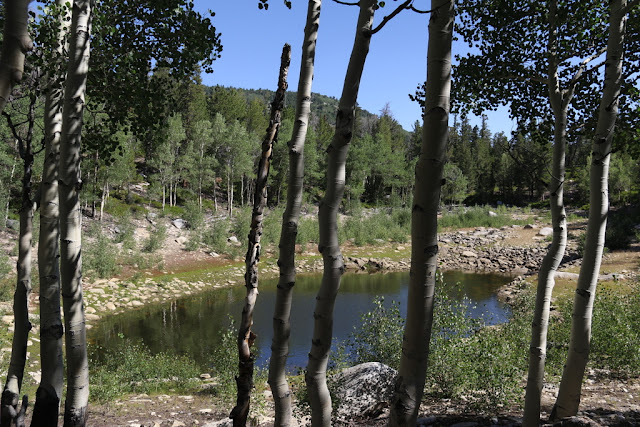
We still had one peak left, Pyramid Peak in the middle of the park. We started at the Shoshone trailhead up Snake Creek. Because I hadn't done it for a couple whiles, we took the Dead Lake route, which is supposed to become a trail to connect into the Johnson Lake trail. It's super nice, but a lot of the flagging has blown away. The trailhead sign says the trail exists, but be prepared to do routefinding if you go for it. Dead Lake had more water in it than I expected. It's a lake in a moraine, and it can dry up to just a puddle about five feet across.
Up near Johnson Lake we ran into the Historicorps crew, who along with a park archeologist are working on rebuilding the historic cabins that miners built when they mined tungsten up by Johnson Lake. We puzzled over the extremely small door with them. Maybe some of the miners where short? In the background you can see some of the original tree stumps--the miners must have cut these in winter, as they are over ten feet tall!
We went by the lake, up the deteriorating trail to the ridge, and then were on the final approach to Pyramid Peak.
The view is exquisite looking south, with Johnson Lake and more of the South Snake Range.
The view looking north is also fabulous, with the backside of Baker and Wheeler peaks. In the foreground is Holmgrem's buckwheat (Eriogonum holmgrenii), a plant that is endemic to the South Snake Range. I always enjoy seeing it. The good news was that all the dataloggers we found downloaded just fine. They generally showed that flatter areas are more buffered from cold temperatures in the winter (probably from a snow layer), while the steeper sides of the peaks got very cold. We couldn't find all the dataloggers, but we installed new ones so we'll at least have some data.
Thanks so much to the volunteers, Hallie and Andrew, who went along on these hikes.
It won't be long until this high country looks very different!


1 comment:
VERY nice! At every peak did you sing, "Gloria! Gloria!" Haha
Great photos
Post a Comment