Friday, November 27, 2020

Photography Magnets and Notecards for Sale


BRISTLECONES and MILKY WAY (L to R): Old tree with wildfire glow, Bristlecone curtsy, Diagonal bristlecone, Reaching to the stars

I started taking more photos when Desert Boy was small. As he toddled along trails, I amused myself by looking at what would make a great photograph. Going at a slower pace was quite beneficial! Soon I found I had a real interest in photographing the night sky and learned about astrophotography and the Milky Way. 

A friend encouraged me to sell the photo of the bristlecone and the dark sky (top left in the photo above). I hadn't even noticed the glow on the horizon when I looked that way, but the long exposure showed it. The glow was from the 2014 Hampton Fire, and I knew I could never re-create that photo. I loved taking photos of the Milky Way with bristlecones but also found other fun subjects.

OTHER MILKY WAY: Whoa!, Old Car, Utah sign, Nevada Sign, Old Yellow Truck, Pegasus, Stella Lake Starlight

I sold some photos, mostly at the Ely Art Bank, which always has new offerings, so is fun to check out. I often ask the kids to pick a favorite. I also entered some photo contests and kept clicking away. I've had several photos featured on the cover of Ruralite Mt. Wheeler Power edition and in Nevada magazine, including some wins in the Great Nevada Picture Hunt. 

Eureka Restoration Enterprise in nearby Eureka, Nevada asked me to do a show. Wow! My first ever show! I included some landscape photos, which are often taken during sunrise or sunset to get the magical light.

LANDSCAPE: Snowy Sunset, Deer in Clouds, Cave Lake, Reflected Sunset, Sunflower Sunset

I continued entering some contests, and won a big prize in a BLM calendar contest: a ticket to attend the Winter Photo Shoot at the Nevada Northern Railway. Avid train photographers converged in Ely for a long weekend and we were treated to amazing access to the whole yard and several train rides. I was definitely intimidated with so many expert photographers around me, but it was also exhilarating. I learned a lot and enjoyed the experience.

TRAIN: Divergence, Boys on Engine 40, Engine 40 Glamour Shot, Engine 40 Steaming Along

I live on a ranch, and although I have nothing to do with the day-to-day operations, I love documenting some of what happens. The cowboys and cowgirls are especially photogenic.
COWBOY Theme: Spring branding, Boot closeup, Roping

The Great Basin is such a wild place that it is easy to spot wildlife. Three of the photos below are in or near my yard! This type of photography is very different than the astrophotography, but also very rewarding.

WILDLIFE: Meadowlark Singing, Snuggly Marmots, Pronghorn Closeup, Kestrels and Lizard, Owl and Moon, Foxes

I've taken thousands of photos of wildflowers, but most of them aren't what I would call amazing. Then I thought about doing flowers at night, and that was a game changer!

FLOWERS and MILKY WAY: Palmer's Penstemon and Sunflowers

Of course bristlecones are always a favorite subject, especially the ancient ones. I marvel at how they survive adversity, and in some cases seem to thrive despite of it.

BRISTLECONES by DAY: Magestic bristlecone, Dancing bristlecone (at sunset), Long roots

When I was feeling so fatigued by the pandemic,  I heard about Comet Neowise, a comet that only comes by every 6,800 years and was first discovered in March 2020. In July 2020, it was found to be bright enough to see with the naked eye. We could even see it from our house, but I headed up higher, to the bristlecones, for my favorite photos. This mission to try and get great photos made July speed by and put a big smile on my face. I've been so glad to see folks coming to our local Farmer's Market, where I occasionally sell photos, also smile when they see these photos.
BRISTLECONES and COMET: Old bristlecones, Perseverance, Bristleone Framing

During 2020, we've been doing so much remotely that I decided to offer magnets and 5x7 notecards of the photos above for sale. Just email me (gretchenmbaker @ gmail.com) and let me know which ones you would like. Cost is 5 for $25 (mix and match notecards and magnets) or 10 for $45. Both prices include shipping. Limited to supply at hand. 

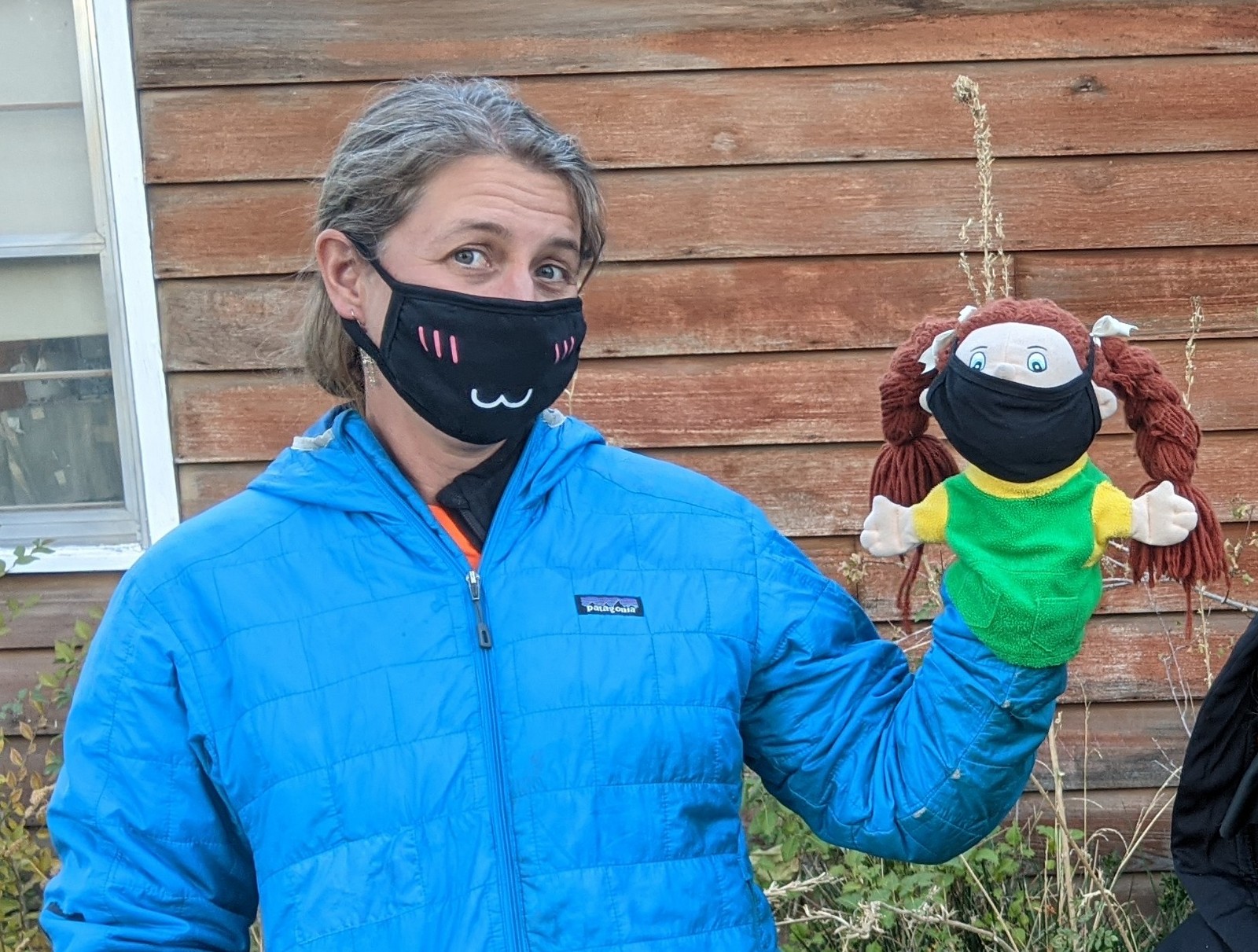
I also have signed up with Pixels.com and you can now get some of my photos as face masks (if you have to wear one, why not wear a piece of art!) and other products. 

And if you just like browsing beautiful photos, you can find out more at my website, GretchenBaker.com.

Sunday, November 22, 2020

Halloween 2020

Halloween is always a greatly anticipated event at our house. Mainly the kids can't wait to get candy! Pumpkin carving is high on the list, too. We carved pumpkins with our 4-H club in mid-October and then got a couple more pumpkins to carve Halloween week because it's just so much fun. Desert Girl tends to the macabre.

The costumes the kids chose were apropos for the pandemic. Desert Girl was a plague doctor and Desert Boy was a handyman.

I figured that there was no time like the pandemic to learn how to be a ventriloquist! See how my lips aren't moving? Ha, ha.


Not only was Desert Girl a plague doctor, but also her best friend.

I think this was a very popular costume for 2020. I had to look up plague doctors, as I didn't know anything about them. They would stuff herbs in the beak that were supposed to filter out all the bad stuff. Unfortunately that didn't really work, as plague microbes don't really care what herbs you have in your beak, so many plague doctors didn't live too long.

 
A modification to this year's event was instead of the inside the Community Center being our main gathering spot, it was a Trunk or Treat outside. That helped everyone keep a little more distance. Fortunately the weather cooperated.


It was fun to see all the costumes!


Our neighbor always has so much fun with Halloween. She was no exception this year.

The kids also went out Trick-or-Treating at houses with their porch lights on. They had a terrific time. One of the highlights was seeing this horse decked out as a tiger. How creative!

If you celebrated Halloween, hope it was fun. We were glad to have an event that wasn't cancelled this year.

Saturday, November 7, 2020

Exploring the Burned Hampton Creek Drainage

After my delight exploring the Hendry's Creek area, I decided to go to the canyon to the north, Hampton Creek. At one time, Hampton Creek was the fastest way to reach The Table from the east, with a shorter and steeper trail than Hendry's Creek. However, in 2014 the Hampton Fire burned most of the drainage. Subsequent heavy rains caused massive flooding, taking many full-sized trees miles down the bench to the Gandy Road. The Millard County road crew had to repair the Gandy Road almost daily for a period of time.

 Here's a topo map overlaid on Google Earth satellite imagery (how cool is that! Here's the download from Topo Map website that allowed me to do that.) Hampton Creek is located in the northern Snake Range in the Humboldt-Toiyabe National Forest. Most of the canyon is in Mt. Moriah Wilderness area. The red line shows the approximate "old" Hampton Creek trail.


A sign near the entrance of the canyon warns of the upcoming dangers. If you're driving a passenger car, you want to park here.

If you have 4WD and high clearance, you can make it about 0.8 miles farther, as long as there isn't high water in the creek bed. It was dry in October 2020.


Then get ready for some cheatgrass. Hillsides of cheatgrass. I headed uphill a bit...
 
...and came across an old road. There were horse tracks on it.

The old road led all the way to the old mining equipment. This was used for a small garnet mining operation. I counted my blessings. Maybe this day wouldn't be as hard as I had anticipated.

I'm not sure what this equipment was for, but it looked cool.

Soon I was at the old Hampton Creek trailhead. The sign posts are still there, but nothing else. I couldn't even tell which way the trail went. I took a guess and started hiking, basically cross-country. I soon realized I wasn't on a trail, so just aimed in the direction I thought it would be.

After wandering a bit I found a water bar. This had to be the trail.

The view down canyon showed the burned pinyon-juniper woodland.

Here I am, wondering how much of a Type 2 fun trip (you appreciate it after the fact) this was going to be.

The horse tracks continued up the old trail. I was impressed.

The shrubs in the creek bed (now spread wide due to the flooding) were very colorful for my October jaunt. Skunkbush and rose were the main shrubs.

I even found some blooming flowers, like this aster.

The stinging nettle looked potent. I was glad I was wearing long pants and long sleeves.

I doubt this thistle is native, but it sure looked pretty.

Its flowerhead was very large.

I was happy to see a baby ponderosa pine. Although fire can devastate an area for awhile, eventually there will be regrowth.

 About 4 miles in, the canyon turns to the north. It gets really rocky, and with the trail washed out, I had to do lots of talus scrambling. I'll admit, I thought about turning back, but I had already come through some gnarly terrain and didn't want to go back that way. I reminded myself I had a full day planned, and every step I took was progress.

I found more blooming flowers, making me smile.

We had already had a freeze, so I was surprised to see all these flowers. Maybe they were in a small protected pocket.

Sometimes it was easier to hike in the streambed. It was uneven, with fallen trees across it.

Eventually, as I got farther upstream, I found more live trees (and bare aspens) and refound the trail.

The aspen leaves had already fallen off, but it was still beautiful.

And then it was back to the burn. This tree was quite statuesque.

I lost the trail again in the burned area. I looked at my GPS app and it told me to go one way, but I wanted to go another, towards Mt. Moriah. 

I went my way, and eventually found the trail, but then backtracked so I could see what I had missed.

Eventually I came out to nice views of Mt. Moriah. The trail had again disappeared, but rock cairns led the way.

I finally got to my destination, the trail junction. Mt. Moriah looked so close, but I knew I didn't have the time. I checked my water and found that I was nearly out. Uh oh. I had packed less than for the Hendry's Creek trip because I had some left over. But this day was a bit warmer and less shady due to all the burned area. I knew I was going to try and take the ridge back, and there would be no water on it. I would just have to go fast and conserve water.

I headed back the Hampton Creek trail and then cut into the forest to follow the ridge. The Hampton side was burned, the Hendry's Creek side was not.

It was going quite well until I got to the cliff section. This got a little tricky.

Eventually I got down the cliffs and steep hillside and onto a lovely ridge with lots of open places. I also found a helispot from the fire.

I took a look back and saw the cliff area.

Then I found what seemed to be a trail, but was probably a fire line. It made for easy travel.

There were some cool bristlecone pines up on the ridge. And you know me, I couldn't resist taking a photo to remember them.


I kept following the ridge. I knew I had to go down at some point and had a drainage picked out. Unfortunately I went down a little early and it got really steep and not much fun.

But I made it down to the creek and filtered some water. Then I went up on the road on the other side and wondered where all the mullein had come from.

There were some pretty colors in the wide creek bed. This creek used to only be about five feet across, and now it's often ten times that wide.

Finally I could see the truck. And just in time, the light was fading fast.


 I have to say that I would not even have tried this hike without having a GPS. I used the free app Earthmate on my phone, which let me pinpoint my position (even without a cell signal) on the free Nevada topo map I had downloaded before going out. 

 The map below shows my 16.5-mile route. I tracked my trek with my Garmin watch and then added some waypoints in Google Earth. About half the access road to the trailhead and half the trail are destroyed. That means lots of bushwhacking. There is great potential here for improved and new trails.

My Hampton Creek day was not easy, but it was interesting seeing a lot of the drainage and how the fire and floods had affected it. It seems like a rawer landscape, more elemental. If you want an easy day, just visit the beginning of the canyon. In a couple hours you could get to the old garnet mining equipment and back. And in a whole day, you can have your Type 2 fun bushwhacking through various terrain. I don't plan on returning anytime soon, but I'm glad that I went.

Here are some other blog posts about Hampton Creek over the years:

September 2008 trip report

More about the garnet mine-2008

2014 Hampton Fire

August 2014 visit, after the fire

May 2016 visit

Related Posts Plugin for WordPress, Blogger...

blogger templates