Monday, March 21, 2016

A Sunday Hike to Granite

A few Sundays ago we decided to go out for a family hike. Before we got far at all, we saw these amazing clouds and very low rainbow. 

We drove by the town water tank and checked it out. It's the cause of great controversy, as a new tank is needed because it's leaking, but because of recent sage grouse regulations, new development is difficult to not possible. (More on that in a different post.) 

We went up towards Kious Basin, where there are granite outcroppings. We thought it would be fun to scamper around with no real destination.


The wind started blowing and we got pelted with snow as we ascended.

No beautiful rainbows now!

Nevertheless, we persevered. It wasn't that cold, so we explored a little.

And tried to keep our backs turned to the wind.

Desert Boy and I started down a steep way. I got to the point where I wasn't comfortable and turned around, but he kept going.

And going...

And he made it! I was impressed.

Then we found another rock outcropping to explore.

This strange red pool of water was at the top.

The weather cleared up a little.

So we tried to drive further up, but eventually got to too much snow and had to retreat. Nevertheless, it was a good excuse to get outdoors!

Tuesday, March 15, 2016

Chicks!

 We decided to get chickens again (we had some problems with skunks last year and finally gave our last chicken away). We've been trapping skunks, trying to reduce our predator problem. So I picked up six black americauna chicks (if you're wondering why that breed, it's because it was the last one left in the store!). Our first experience with chicks was that they seemed rather feeble and stupid (not getting away from the heat lamp if too hot, or not going to it if too cold). Fortunately, these chicks seemed to be a little more with it.

The kids were immediately happy and wanted to hold them the next morning.

I thought that was a good idea--if the chicks get used to the kids, then they will be easier to catch when we want to put them in the coop early.

The chicks look quite similar, so only one or two have names.

Within a week they had about doubled in size and were flying up to the edge of the big rubbermaid container we have them in. Sometimes they even end up outside it, which is telling me that they will be moving from the house to the coop sooner than we had planned. I don't like chicken poop on the carpet!

The kids have been having friends come over to show them off. They've done well refreshing their water several times a day and giving them new food, so that's been great. We are looking forward to this chick adventure. And hoping that come about July, we'll be getting some blue eggs from these chickens.

Wednesday, March 9, 2016

Johnson Canyon in Snow Canyon State Park

 I had an appointment in St. George recently, and along with doing a few errands (grocery shopping, bike tune-up, etc.), I wanted to make time for a little hike. I headed to Snow Canyon State Park and to the Johnson Canyon trail, which was described as being about two miles long and beautiful. It's also closed from March 15 to October 15, so that gave me a little extra impetus to get it done.

I drove past the parking area and to the fee booth at the south end of the park before I realized I had missed the parking area. (You can hike this trail for free, but it's nice to support the state park, too.) So I turned around and parked, then walked across the road to lots of orange sand. It wasn't long, though, until I saw the black lava contrasting with the landscape.

It was a warm day, so I thought I'd see lots of wildflowers. I just saw two though:

The drainages looked fascinating, with a twenty foot plunge over a lava lip to reach the sand below. A gauging station/weather station was off to the right above the drop.


 I ambled on and before I knew it there was a huge arch over on the side. This is Johnson Arch, with a span of 200+ feet. This is one of the main reasons to go on this hike.

Another big reason is that this is the only surface water in Snow Canyon (and that's why it's closed in the summer, to allow the wildlife to have free access to the water). There's not a lot of water, but even the small drainage leaves evidence of flash floods.

I saw a couple lizards.

I also noticed a swarm of small insects in the air. The water apparently supports some insect hatches.

The riparian ice was very pleasant. It ended in a bunch of rocks in the stream bed, but I could hike up to a big sandy area below some cliffs.

On my way back I enjoyed the arch again.

Then I found my own little arch, high up on the cliffs and only visible for a short while because it's so small. It made me happy to make this little discovery.

I also saw some signatures on the cliff wall that I had missed on the way in. Snow Canyon was named for Lorenzo and Erastus Snow, prominent Utah leaders. I'm not sure who F. Snow refers to or the other signatures.

As I was walking, ravens kept flying about and making quite a bit of noise. Then I noticed that there was a lighter colored bird that the raven was harassing. I thought at first it was a prairie falcon, but looking closer at the photo, I'm not so sure. (Any help?)

I had to take at least one photo of the creosote, a characteristic plant of the Mojave Desert. They weren't blooming yet, but they still looked and smelled beautiful.

I had most of the hike in to myself, but on the way back out I passed numerous groups and the parking lot was full. This is clearly a popular hike! If you'd like to try it, there are more details here.

Tuesday, March 8, 2016

Fruitcakes

 Desert Girl turned six last month, and to celebrate we had a couple little parties. We had talked about cakes beforehand and Desert Girl wanted to have a fruitcake. We were in the city the day before her party, so she got to pick out the fruits she wanted, which made her very happy. Then she helped decorate the cake.

The weather was atrocious, with a big blizzard, but some of her friends managed to make it over. They had fun drawing pictures with her new art set.

I can't remember exactly what they were doing here, maybe dancing? Then it was time for cake. Most of the kids enjoyed the fruitcake, although at least one wasn't too impressed.

The next night we had a little party for family and tried making some fruit cupcakes along with some banana chocolate chip muffins. With the increased rates of obesity and diabetes in the country, I want the kids to see that they can still have a great time without consuming so much sugar.

Desert Girl looked forward to her treats.

Some of her cousins and other family were able to come over and celebrate, which made her very happy. It's not easy having a winter birthday, but this time it felt a little more summery!

Sunday, March 6, 2016

March 1, 2016 Baker Creek Snow Survey

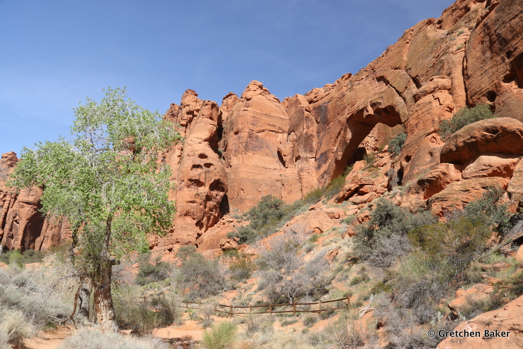
 Last week, five of us set out to measure snow at the Baker Creek snow course sites. Three sites, from 8,200 to 9,500 feet elevation, have been measured since 1942 at the end of February and end of March to determine how much snow and water content is on the mountain. This long-term data set is one of the longest for the area. Some of the snow course sites have been replaced with Snotel sites, automated sites. A few years ago, a Snotel site was installed near the Wheeler Peak campground. The Wheeler Peak snotel shows hourly weather data, including temperature and precipitation. That site is a few miles away and at a different elevation than the Baker Creek sites, so the snow courses are continued.

We started at seven in the morning checking our gear and doing a safety briefing. Then we headed up the mountain and started skiing on just a few inches of snow on the upper Baker Creek road. We reached the first snow survey site, a bit above the Baker Lake trailhead, before nine in the morning. At each site, the snow depth is measured with a special snow tube. The snow tube is then weighed to determine the snow water content equivalent. This is repeated four more times and the average value used.

It's about a thousand foot elevation gain and a mile and a half to the second site. We found some places along the trail where the snow had melted.

Fortunately the snow looked plenty deep at the second site.

We were happy to find the snow almost three feet deep and with a water content double that of last year.

I used the calculator function on my phone to help do the calculations. We have to have density within five percent for all five measurements or we have to redo them. The whole program has been worked out to be quite field friendly.

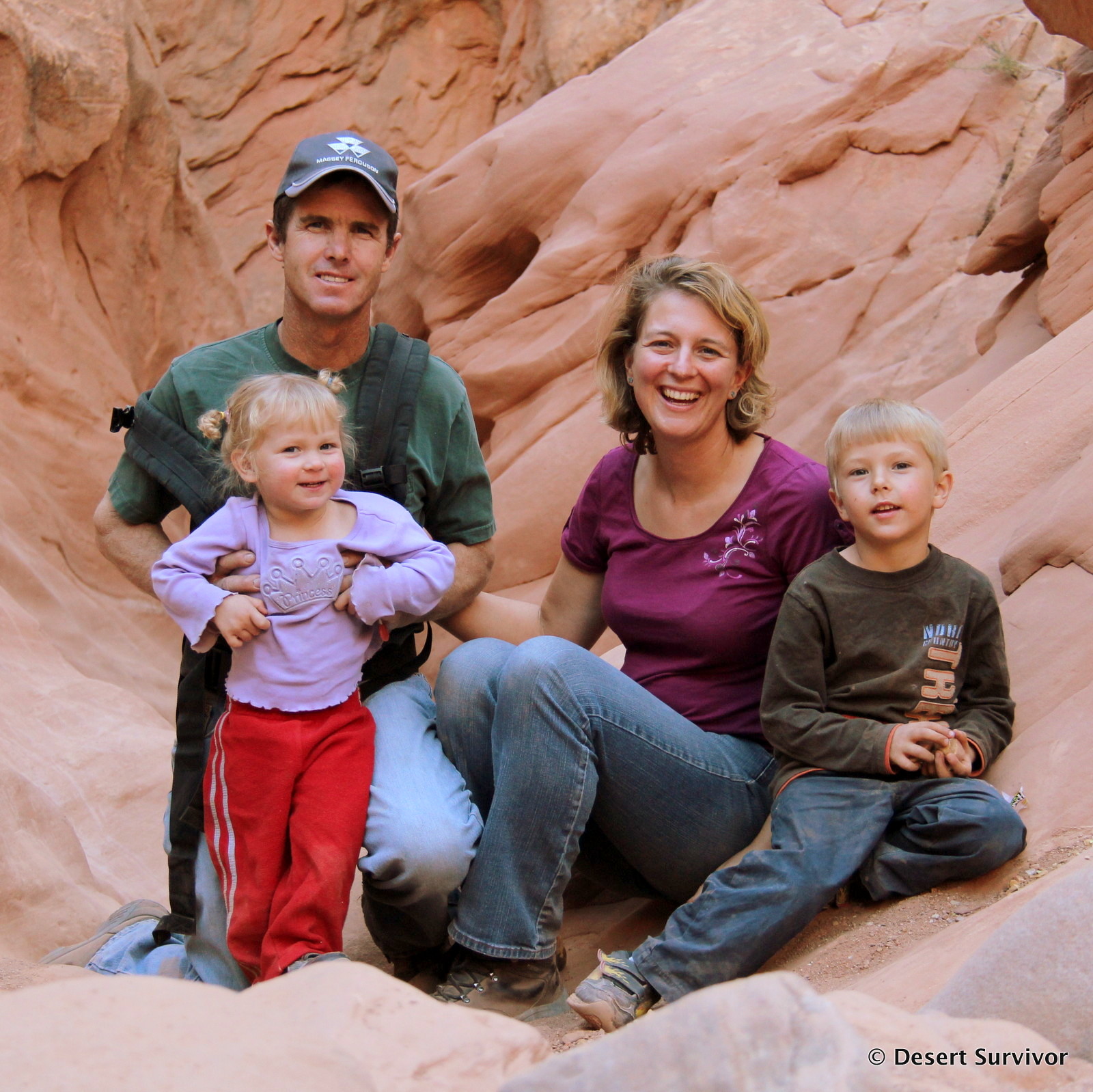
I can't remember what got us all smiling at this moment, but overall it was a great day, with very nice weather. Plus it's hard to beat being outside!

We ate lunch a bit further on and then continued up to the third site.

The untracked snow ahead of us.

We crossed a small spring to reach the third site.

I'm going to have to go back in summer to see how this tree looks in comparison to the sign! The third snow course site is about half way to Baker Lake.

The snow was over three and a half feet deep here, with good water content. It turned out to be an almost average amount, which is a nice change from last year's much drier results.

Brooke is holding one part of the measuring tape. The measurements are taken at prescribed locations along a transect.

After we finished, it was time to head back down the trail. This can be a lot of fun, but also a bit scary, with trees, rocks, and steep sections to navigate. We all wore skins on our skis for both uphill and downhill to have a little more control.

I thought this aspen trunk was so interesting looking.

We all made it down safely, in about two hours from the top site. Despite a few falls, everyone was in good shape.
We sent the data we had collected to the Nevada NRCS office, and they used it to make the March 1 Water Supply Outlook. You can find it and more information on the NRCS website.

Related Posts Plugin for WordPress, Blogger...

blogger templates