
Our first training hike was Crystal Peak. For our second training hike, we decided on an early summer summit of Wheeler Peak so we could simulate more of the snowy conditions of Rainier. We're fortunate to have Wheeler Peak, at 13,063 ft, so close to us. We started off with ideal weather conditions for the 8-mile round trip, with a 3,000 foot elevation gain.

I kept stopping to take photos of flowers. I figured that should be part of the acclimatization plan! As we ascended, I kept track of the birds: mountain chickadees, common ravens, ruby-crowned kinglets, dark-eyed juncos. Then a flock of birds went by, and I got excited. Could it be? Why, yes, red crossbills! Crossbills are easy to identify if you can see their bills, because the bills overlap, the better to get seeds out of pinecones. They live in much of the West year round, and one really cool thing about them is that they breed year round, not just in the summer like most birds.

As we approached tree line, we saw more snow patches, but overall there was a lot less snow for June 1 than I was anticipating. We are a bit below normal for snow pack this year.

We got an early enough start that we could walk right over the top of the snow on the way up. My husband is carrying his grandmother's ice axe. She got married on top of Mount Rainier, to her husband who was a guide.

Although we were quite warm in softshell pants and a lightweight wool shirt, we did find patches of ice that had frozen during the night from the previous day's snow melt. I particularly liked this patch, with a flower stuck in the middle.

The flower below is Ross' avens (Geum rossii), a member of the rose family. Other flowers starting to bloom at and above treeline included cushion phlox (Phlox pulvinata) and Snow cinquefoil (Potentilla nivea) and more. I was surprised by how many flowers were blooming.

Another surprise was this golden-mantled ground squirrel that popped out of the rocks. He was quite cooperative letting me take photos!

We took a little break on the shoulder, a traditional stopping place with wind breaks scattered along the relatively flat spot.

Then it was time to summon energy for the final push to the top.

I was really hoping to see rosy-finches, as they like to eat insects in the snow, but alas, I didn't see any. However, I did see quite a few insects in the snow. I guess they get blown there and stuck.
 |
| Ladybug |
 |
| Moth |
 |
| Hemiptera (true bug) |
 |
| Beetle |

We reached the summit in just under three hours. I know people who have made it much faster and much slower. A seventy-two year old gentleman who shared the top with us had hiked slightly faster than us--nice job. We were just glad to make it! We were rewarded with spectacular views.
To the northwest, with the Schell Creek Range in the distance.

To the West, across Spring Valley and the pivot irrigation to the chainings in the pinyon/juniper on the lower slopes of the Schell Creeks, and then to the Egan Range, and hazy Currant Range.

To the north, with Stella, Teresa, and Brown Lakes in the middle, Bald and Buck mountains behind the Scenic Drive, and the North Snake Range in the distance.

Here I am checking the view to the south. It was amazingly calm at the top, and we didn't even need to put on extra layers.

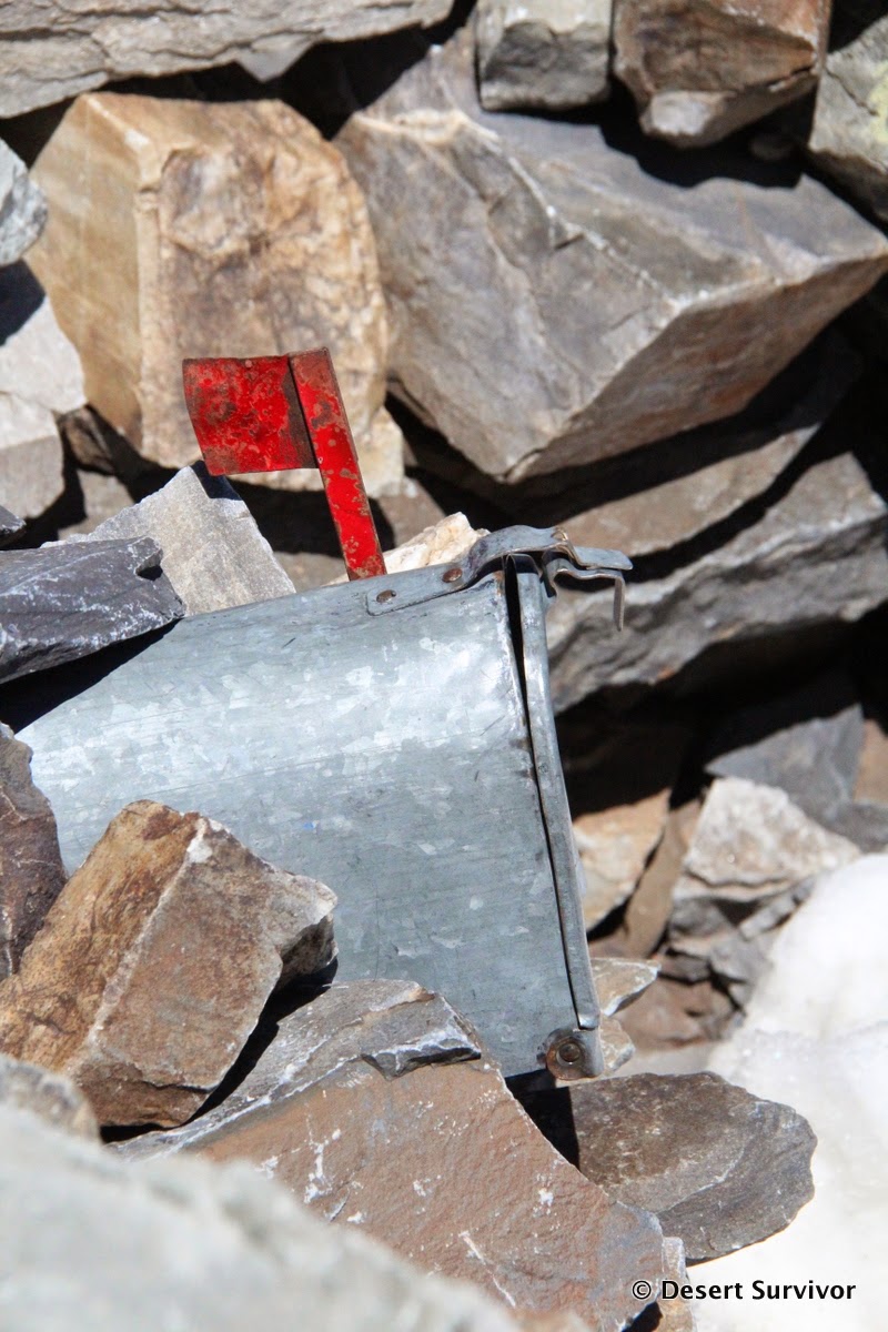
We checked the summit log out of the mailbox. The part I found most interesting was that someone had climbed the peak November 8, 2013. The next entry wasn't until January, and after that until April. Those folks had to work hard for their summit, as the Scenic Drive was closed and they had to start their hike much lower (about 8,000 ft).
The benchmark at the top:

I couldn't go to the top without a look down at the Wheeler Cirque Rock Glacier. So I went to the edge of the ridge and found a good spot.

Jeff Davis Peak was also looking impressive.

It took less than two hours to hike down, although we were moving at a fairly good clip (and I didn't take hardly any photos).
 |
| Looking south from Wheeler Peak at the North Fork of Baker cirque, Baker Peak, Pyramid Peak, Mt. Washington, and the rest of the South Snake Range |
Here are photos and a description of a trip up the peak in August, when it has many different flowers.
And for more history and information about climbing Wheeler Peak, check out my book, Great Basin National Park: A Guide to the Park and Surrounding Area.
Thanks!


1 comment:
Looks like an adventure! Great photos ;)
Post a Comment