
I loaded up the kids, and we drove about 10 miles on the highway, then turned off on a 4WD road that was very sandy. The park ranger at the dunes had circled the spot on the map where most people get stuck and told me to just 'gun it' through that area, so that's what we did. It's right before the Sand Springs area (which is super cool and will be the subject of the next post). We were basically driving on the northeast side of the sand dunes, and it was very remote compared to the other side.
Eventually we got to the sign pictured above, and the lone tracks that had preceded continued on straight, while we made the turn onto a road that hadn't been traveled for awhile. The ranger had warned that the road was a "Utah striper," meaning that the shrubs were close enough they scratched your vehicle. Fortunately our 4WD truck isn't too pretty and already has lots of scratches, so it was okay. At the end of a fun 2-mile long road with lots of twists and turns and banked curves, we reached this sign:

The hike started out with just a gentle downhill. I had kept looking for the canyon as we drove, as I'm used to living in the Basin and Range, where you drive to a mountain range to enter a canyon. Out in southern Utah, you start out on the mesa and the canyons drop away from the land.

Before long the trail got steeper. It even had switchbacks, which the kids love.

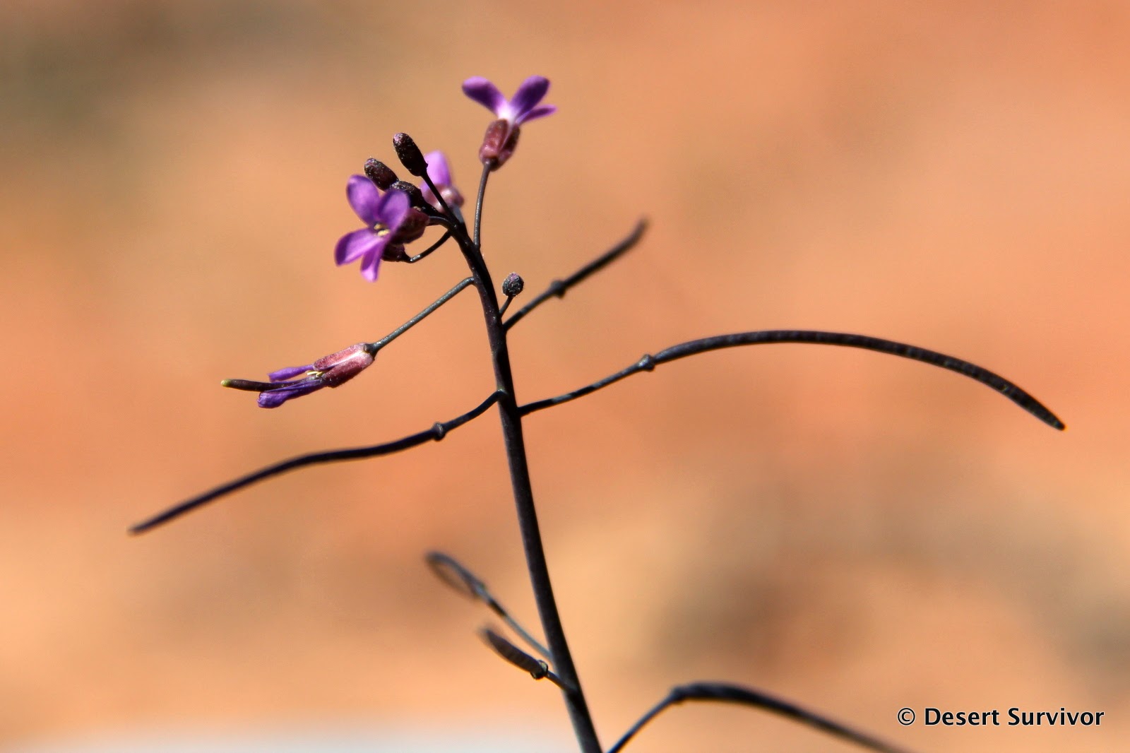
I saw several flowers and had to photograph them. This purple one is probably an Arabis in the Mustard Family.
As we continued, we walked over more and more Navajo sandstone.

The kids couldn't resist doing some extra climbing.

Then we got to the part of the trail that my husband would have hated: on the side of a cliff with a long fall and nothing but a flimsy fence to keep you from pitching over.

We found some cool places along the trail.

And if Desert Boy does it, Desert Girl has to also.

A game of hide-n-seek developed.


The kids spent less than a minute looking at the pictographs and then promptly found some nice sand to play in.

I took my time taking photographs (so at least they'll see what they ignored some day!).

There was a sign saying that there had been some recent vandalism, and I had read earlier that there had been some older vandalism, so I wasn't entirely sure of what I was looking at. This pictograph looked authentic, though, like one the Basketmaker people would have painted 2,000 years ago (wow, that's old!).

As I looked closer, the newer vandalism, done in pencil, became very obvious, and the way it was done, I was guessing ignorant teenage boys who think adding body parts to figures is funny. Stupid.
Then it was time to head back up. It sure didn't seem like we had come down 1700 feet. In fact, we had only hiked half an hour from the trailhead to the pictographs. On the way up we took rest breaks whenever the kids wanted, and they found some different holes to climb in.

Desert Girl also started singing, and once she starts, she doesn't stop!

The hike was lots of fun, and the pictographs were a great bonus. The last people to sign into the trail log had been there two days previous, so we had it all to ourselves. It was really peaceful and a perfect afternoon outing in the spring.


No comments:
Post a Comment