 The last week of February I got to help with a snow survey. I had been intimidated by the distance and elevation gain previous years, but this time around I worked up the nerve to accompany them to the first of the three snow courses. Snow is measured to help determine water supply forecasts by the Natural Resource Conservation Service (NRCS), and this particular snow course has a record since 1942.
Along with two guys from NRCS, we had five other participants, including John, above. He started out ahead of us to break trail. The snow was great, several inches of relatively new snow.
 Heading up the road. It was a gorgeous day.
 Greg took a turn breaking trail.
 I had a chance, too. The snow was really blowing off the mountain, but where we were, it was nice.
 Jacob caught up with us. (Sorry for the sideways photo.)
 Did I already say it was a gorgeous day?
 We got to the first snow course and found snow quite a ways up the snow course marker.
 Jeff was another volunteer, and he and John started off measuring distances so we could get our five measurements in the right locations. Those five measurements are then averaged.
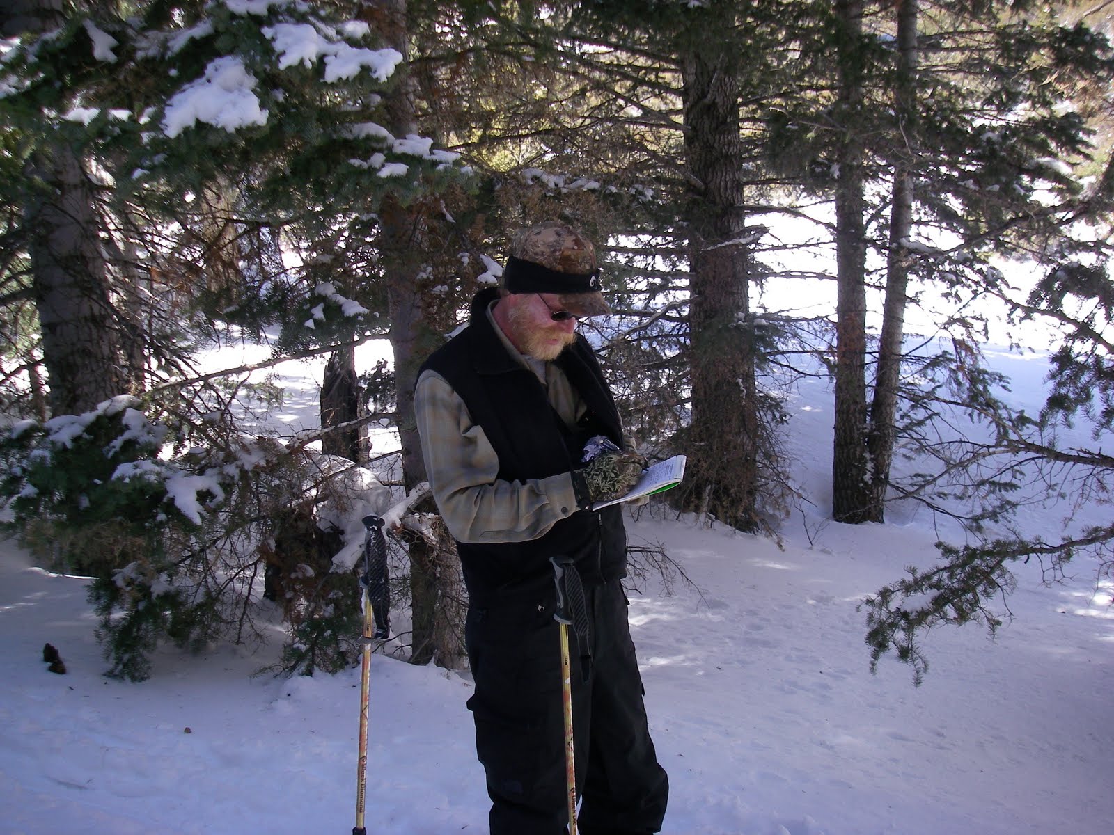 Curt was in charge, and he recorded the data.
 The long tube is the snow core, and after it's been filled with snow, it gets weighed to determine the snow water equivalent, or amount of water in the snow.
 Greg takes a turn doing a reading.
 Then it's my turn. It was harder than it looked to get the pole in straight up and down.
 I had another obligation that afternoon so couldn't continue and headed back down. The three that went all the way got back to the trucks around 8 pm, using their headlights to ski down the trail. Maybe I'll have the guts to try that for the next snow survey at the end of March!
 It won't be much longer after that when the marmots come out. (The sign says Marmot Crossing, SLOW).


No comments:
Post a Comment