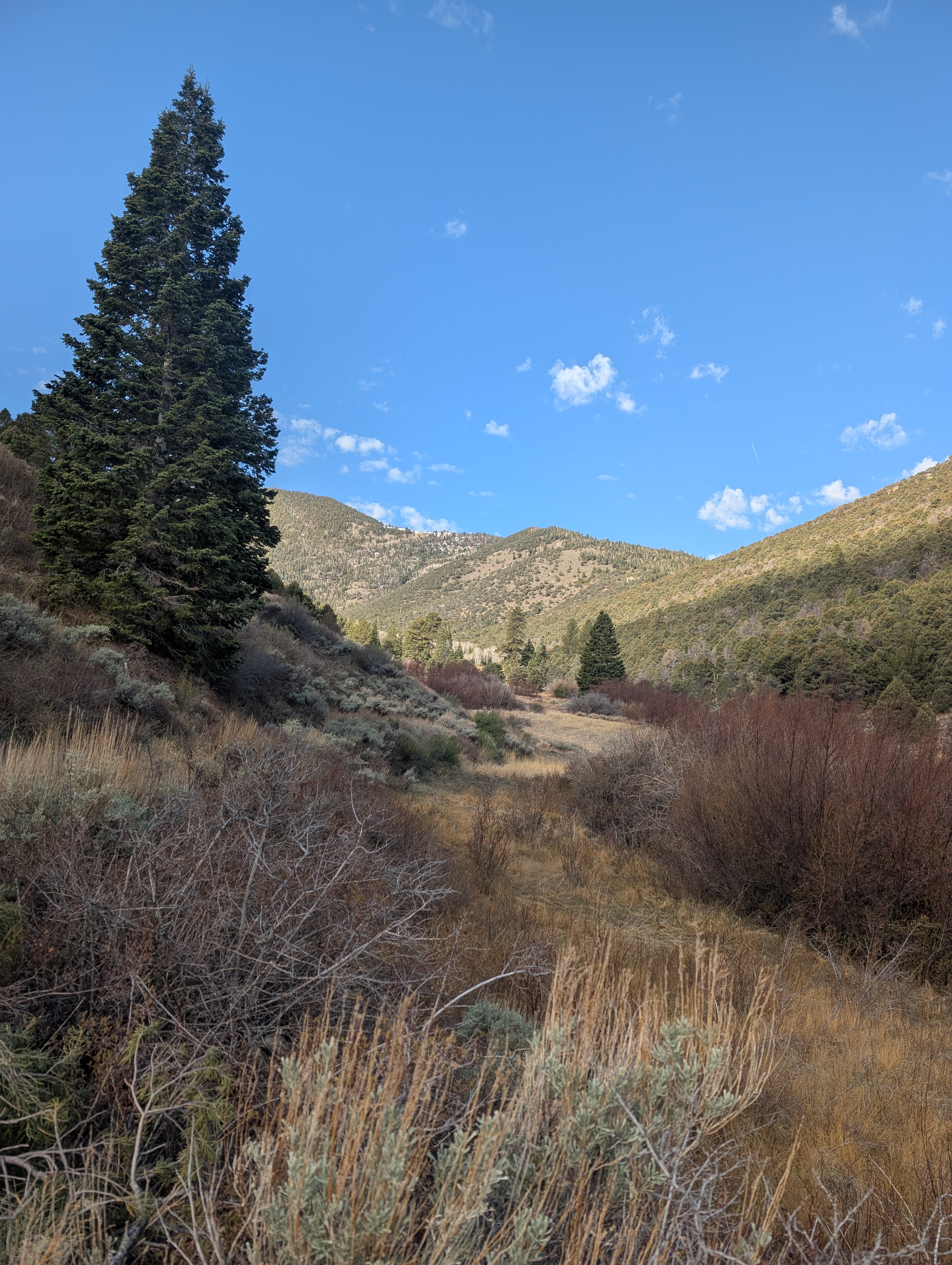
In early May I hiked the Osceola Trail. My son dropped me off at the trailhead on the Wheeler Peak Scenic Drive, and the lack of vehicles gave me a hint that I would have the trail to myself.
Usually at this time of year, this trail has lots of water flowing across it, but due to the low snow year, it was dry.

Soon I was on the rocky section. This would have been very hard to get a ditch across to take water from Lehman Creek (and later Mill and Strawberry Creeks) over to the mining town of Osceola. The ditch was short-lived, with lots of leaks and water thievery, but the path it took still survives, and because it's relatively flat, is a nice option in this very mountainous park.

In places it's very easy to see the ditch path.


For those wanting just a touch of the trail, this is a good out-and-back destination from the Scenic Drive.

I continued on and was rewarded with some blooming arrowleaf balsamroot.

And then I noticed that there was also Hooker's balsam root nearby. The leaves are serrated and easily distinguishable from the arrow-shaped ones.

Many of these flowers are blooming in the burned section, lending a nice burst of color.

As I continued, the cloudy day led for a lovely light show. This is looking north towards Mt. Moriah and the North Snake Range.
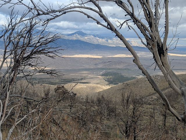
As I came around on to the Strawberry side, I could easily see the road down below. I was also fascinated by the small patches of trees that survived the fire on the opposite hillside.

Although many burned trees have fallen, a few still remain upright.

Light show!

A potentilla (cinquefoil) that I hadn't yet seen blooming this year.

The easy-to-follow trail arrives at a huge washout. This is from 2023 (I think), when a big snowpack took out parts of the Osceola trail. There's no easy fix here, so it's a scramble down and across.

In the gully looking up, you can see that the washout is both wide and deep.

It's actually two gullies that come together down below. It may be easiest to cross below both.

Some burned bark.

Milkvetch (astragalus).

Another drainage has also washed out, but in this case, it has deposited tons of gravel on top of the trail. This obstacle is much easier to cross than the other one.
Another beautiful yellow flower in the Asteraceae family.

Along with flowers, there were wildlife. Here are some mule deer.

Up higher were some elk. Which answers the age-old question: at what elevation do deer turn into elk?

Before long, a sign indicated the way down to the Strawberry trailhead.

My son was waiting. It sure was handy to have a shuttle!

It took just over two hours to hike the approximate five miles at a leisurely pace with lots of photo stops. It helped that it was a cool day, sometimes this trail can be blazing hot with the lack of shade. It's a nice easy trail except for the washouts, the first which is quite difficult to find a way across. There weren't as many flowers as I was expecting, maybe because it was earlier in the season and a dry winter. Nevertheless, it was a lovely hike.


It doesn't take too long to get to Mill Creek, a tiny creek that you can step over.


A potentilla (cinquefoil) that I hadn't yet seen blooming this year.


Another beautiful yellow flower in the Asteraceae family.

Along with flowers, there were wildlife. Here are some mule deer.


My son was waiting. It sure was handy to have a shuttle!

It took just over two hours to hike the approximate five miles at a leisurely pace with lots of photo stops. It helped that it was a cool day, sometimes this trail can be blazing hot with the lack of shade. It's a nice easy trail except for the washouts, the first which is quite difficult to find a way across. There weren't as many flowers as I was expecting, maybe because it was earlier in the season and a dry winter. Nevertheless, it was a lovely hike.