
My husband wanted to visit a hidden cabin up Strawberry Creek drainage in Great Basin National Park. He used to go to it as a teenager, when his family had grazing rights in that area and before it was a national park. The grazing rights were retired in 1999, the road to the cabin was abandoned, and now it's really hard to get to. We decided the easiest way was to climb up and over Bald Mountain and then hike down into the drainage.
There's an old weather station on the top of Bald Mountain. It doesn't work anymore, as the winds can be ferocious up there.

One of the best views of Wheeler Peak is from the top of Bald Mountain.

We decided to take a family photo with that great background.

There's a big rock pile and a stick at the summit. Fortunately it wasn't very windy, so we enjoyed a snack. We kept an eye on the clouds, which were building.

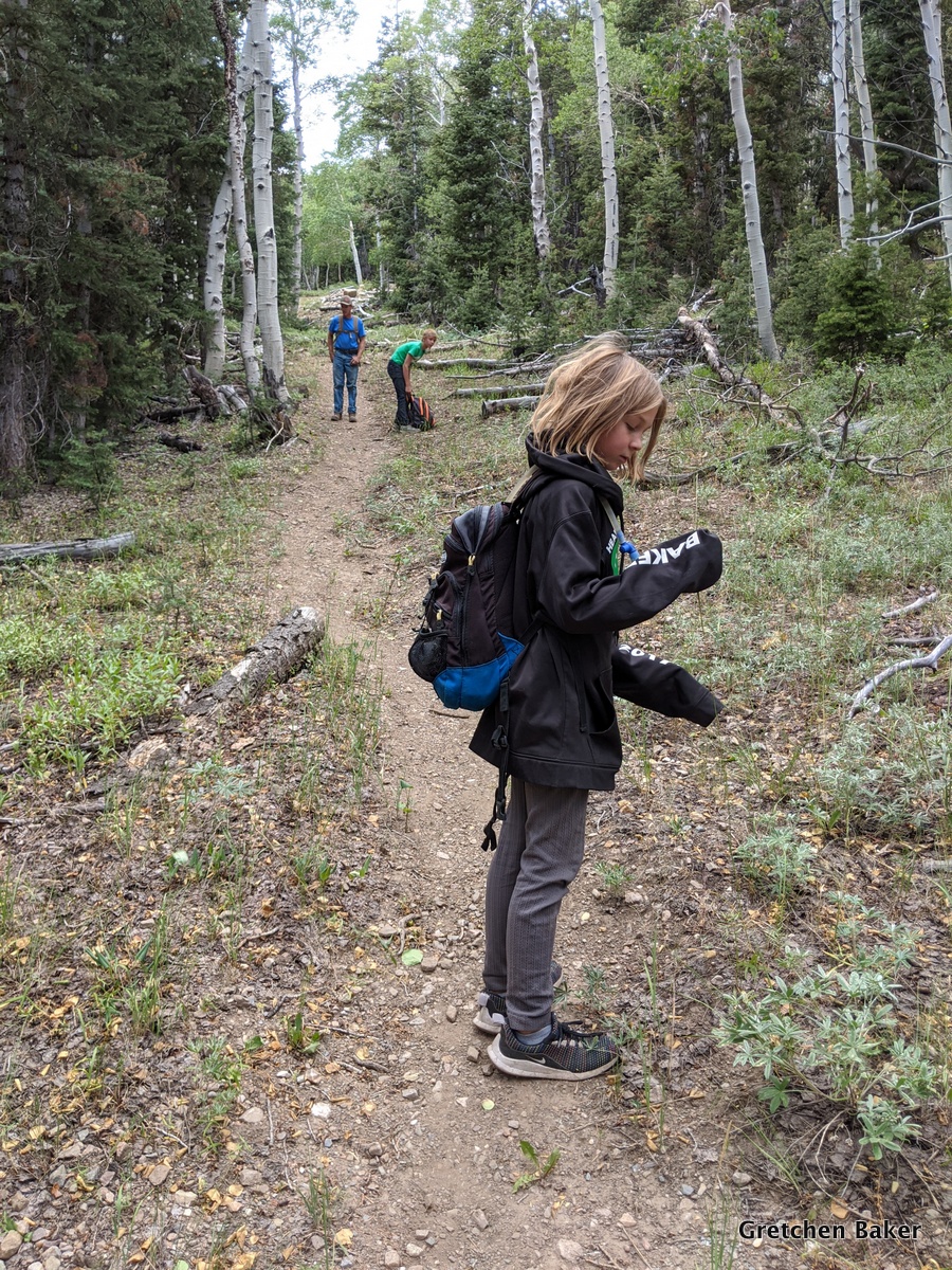
Then it was time to start hiking down. Desert Girl gave me some attitude at altitude.

There is no trail, so it can be tough going.

Desert Girl liked the deer bed, which was a little flatter.

Then she got up and continued down. In 2005 an avalanche took out a bunch of trees, leaving a very visible scar.

This photo shows how steep it was. And the building clouds.

The avalanche area is more shrubs. We stayed in the open until we got near the bottom of the steep part.

Then we headed into the woods and found an old road that my husband remembered. The track was extremely faint, and I had never seen it marked on any map.

I had to pause to get a photo of this mushroom. It really surprised me, as it was such a dry year!

We saw a lot of elk sign, like this rubbing.

We continued on, enjoying the beautiful views.

Eventually we came to a spring. My husband had remembered it and fortunately we found it.

He remembered it having a lot more water. We found this old 55-gallon drum that had been made into a water trough.

Nearby we found a sign on a tree.

It was really hard to read, but mentioned something about a Sensitive Site and US Department of Agriculture, 194?, and Forest.

Not far from there we came out on a rocky area. We could look over to Windy Canyon and beyond to Mt. Moriah.

Apparently decades ago my husband and his friends left a skull up on the rocks. It was still there.

We walked along the trees to find the cabin and didn't spot it until we were almost there.

The one-room cabin was probably built in the late 1960s by the Robison family, who had sheep grazing rights at that time.

Some extra windows were stored around the back, along with some tubing. There was a faucet outside the cabin, but it didn't work, and my husband didn't know where it would be bringing water from.

Inside there's a wood burning stove.

And a table and some bunk beds. It looked in pretty good shape, with some rodent sign, but not an overwhelming amount. With a little stabilization (mainly protecting the roof), the cabin can probably last a long time.

I spotted some elk on the opposite hillside. (They really aren't too distinguishable in this photo, but they are larger than what I saw.)

There are lots of tree carvings in the area. I was amused by the one that said "Ojo", which means "eye," right under the eye of the aspen. Palomino carved on numerous trees in the areas. I think he was a very bored sheepherder.

After a lovely exploration and rest, we decided it was time to head down. Fortunately the clouds had not developed into thunderstorms. I guess we shouldn't have been that surprised, we never really had a monsoon season during 2020.

We followed the old road as much as we could, but it was not easy going. So many trees had fallen across it that we had lots of obstacles.

Here's another section of the old road. No wonder you can't make it out on Google Earth!

After what seemed like a very long time, we came out on the Upper Strawberry Creek trail.
There were plenty more tree carvings. This one showed where the water was.

I loved the flowers!

We also saw some butterflies.

My husband remembered a 1903 arborglyph, and we eventually found it. It was nearly illegible.

We moved down a bit farther and got into the 2016 burn. Then we hiked out to the trailhead, where we had left a vehicle.


2 comments:
Nice family photo.....I see a couple of youngsters getting pretty tall...
I can remember when they were........shorter....
One nice thing about having no coordinates for the walk or the cabin -- nobody else can likely find it!
And yes, I have been reading since desert girl was quite small as well.
Post a Comment