Showing posts with label flowers. Show all posts

Monday, July 7, 2025

Fave Hike: Timber-South Fork Baker, Great Basin National Park

The Timber-South Fork Baker Loop trail is so good I've already done it twice this year. It's about 5 miles (8 km) long and 1600 ft (500 m) elevation gain. It's not easy, but it's so beautiful.

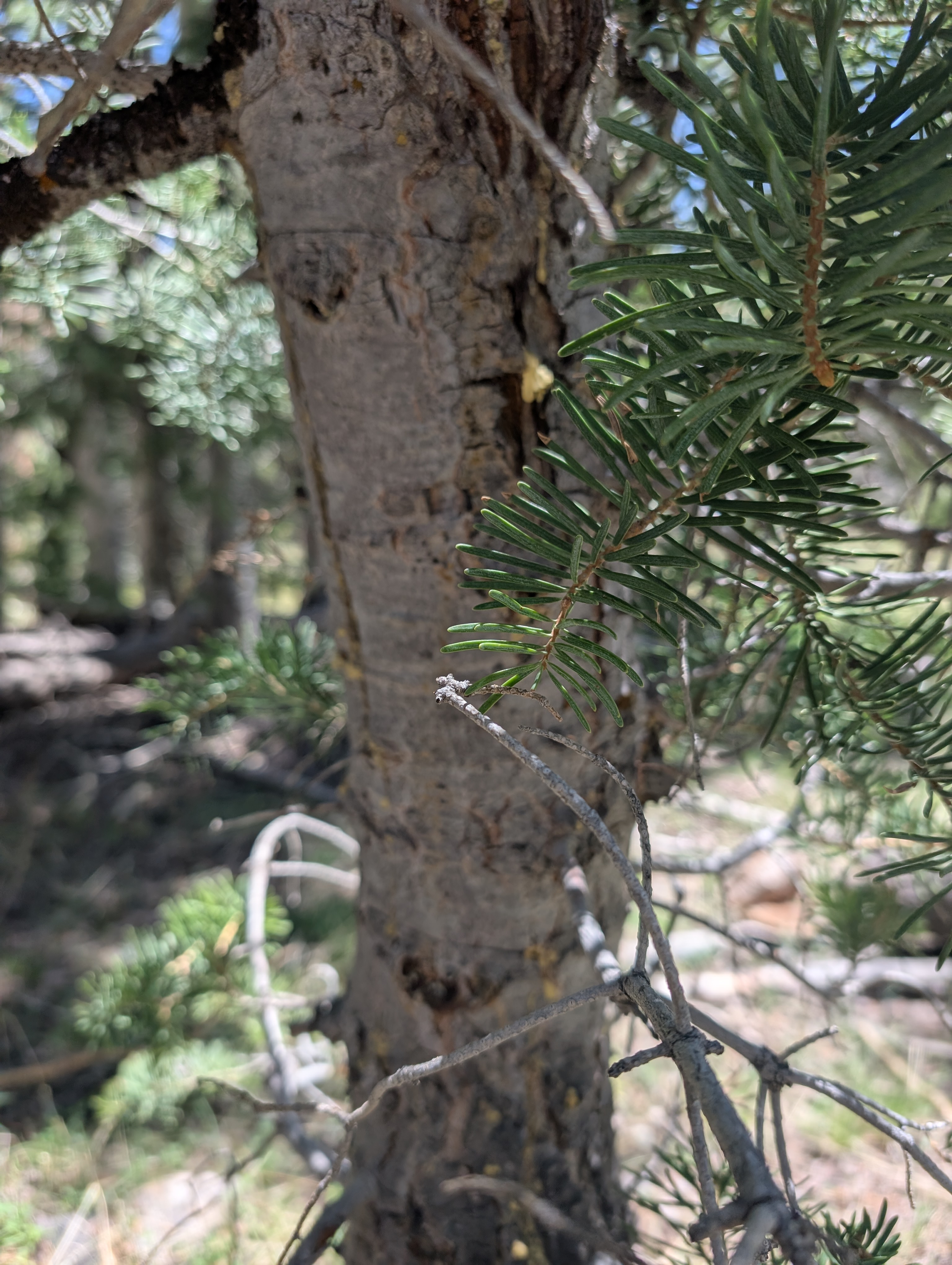
The lower part is relatively flat, but then the trail starts getting into the trees and steeper.

There are always great wildflowers to admire, like this milkvetch.

We chose to go up the steeper Timber Creek side. There are some switchbacks, but we still had to take a number of breathing breaks.

On this late May trip, the aspens were just leafing out near the top.

A big limber pine has died.

Some of the aspens have weird bulges.


We even found a patch of snow!

We had intended to spend some time relaxing in the big meadow at the top, but we heard thunder!

We figured we shouldn't dawdle too long. (And we wondered at the trail signs, some with mileages and some without. It's good to take distances with a grain of salt.)

It started raining on us as we started down the South Fork Baker side, with more thunder. I had been so hot at the beginning of the hike that I had walked in the creek and wetted my shirt. Now, the rain was cooling us off.

We stopped for a selfie once we felt like we were in a safe place.

Most of the trail was tree-free, but this recently fallen one had us scrambling.


This trail is so picturesque!

The lower big meadow only had a few flowers blooming.

The Oregon grape (Mahonia repens) was impressive.

And then we were crossing the last bridges and back to the car.

We fortunately had a final wow--a yellow-bellied marmot!


Just a couple weeks later, I was up in the lower meadow (Baker-South Fork Baker loop, also a lovely hike), and the meadow was full of shooting stars!

This heart-leaf arnica made me laugh. It looks like how I feel most days--giving it my best to stand tall, but definitely a little disheveled and trying to pull it all together.

It's fun to play with the slo mo settings on phones!

A couple weeks after that, it was time to do the Timber-South Fork Baker loop again. This time we had blue skies, no  thunderstorms in the upper meadow. We had nice views of the backside of Wheeler Peak and Doso Doyabi. 

We also enjoyed seeing some very different flowers, like this Rocky Mountain columbine.

In the lower meadow, most of the shooting stars had dimmed, but the bistort was going strong.

Fresh off the Great Basin Bumble Bee BioBlitz, we were ultra-aware of bumble bees. And we saw two!

One of the first things to look for to determine if it's a bumble bee (vs. some other kind of bee or a fly mimic) is the pollen sac on the back leg. And it's really hairy, which is another feature off bumble bees. This lady has a huge yellow one! Then you look at the pattern of the tergites (6 back segments on the abdomen (remember head-thorax-abdomen as the three main body parts of an insect)). This one has some notable orange. 

You can upload photos to iNaturalist for guesses on identifications, as well as the Bumble Bee Atlas.


We spent quite a lot of time with the bees. Then we walked, and I challenged Desert Girl to find an orchid. What?! An orchid in the Great Basin desert? Well, it doesn't grow in dry areas, it certainly likes wet spots and it's rather small, but it's still an orchid.


Isn't it a beauty?

 Hopefully I'll get to hike this trail a couple more times this year and see what other changes I notice. While it's fun to hike new trails to see what's there, it's also great to repeat some faves to see how they change through the seasons. 

Sunday, June 1, 2025

Snake Creek Overlook Trail, Great Basin National Park

With family in town and ready to stretch their legs, we headed up Snake Creek. At first we thought we would do the Serviceberry Loop trail, but decided we didn't have enough time. So we started on the Snake Creek Overlook trail (highlighted in orange on the map), a trail I wasn't familiar with.

It starts at the end of the Snake Creek road, on the same trailhead as Dead Lake. It's a lollipop hike, with a straightaway, then a loop, and then back to the straightaway to return.

The trail veers off from the Dead Lake trail and crosses the creek to go to a couple walk-in campsites, which were occupied.

There are even picnic tables and fire grates at the walk-in sites.

We finally remembered to do a "before" shot.

We followed an old road up to a sign that showed we were at the loop section. We didn't know if there was a better direction to go, so we arbitrarily went left.

Lots of Oregon grape aka creeping mahonia (Mahonia repens) was blooming.

At the top of the loop is this huge dead ponderosa pine. Some live ponderosa pines are nearby. 

We thought the overlook would be at the top, but didn't see anything, so we started hiking down.

Then we found a bench with a glimpse of Pyramid Peak.

From here, the trail was back to an old road, so was more gradual.

I enjoyed seeing the manzanita (Arctostaphylos patula) blooms.

Desert Boy is going to be doing an internship at Great Basin National Park this summer, so I thought it might be good to see what he knows. Could he match the foliage with the pinecone?

Do you know what each of these pinecones/foliage are? Answers under the photo.
From left to right: ponderosa pine (Pinus ponderosa), Douglas fir (Pseudotsuga menziesii), white fir (Abies concolor).

Here's the white fir closeup, with grayish-green needles and rather smooth bark on the trees.

And here's Douglas fir, with a darker green needles and flakier bark.

While Desert Boy was puzzling it out, I noticed a different looking tree nearby. It's a bristlecone pine (Pinus longevae)!

Then it was back to the parking lot, which has some nice views of the limestone Eagle Peak.

The short hike was just what we needed to stretch our legs and see a couple interesting sites. This would not be a hike I would recommend as a destination hike, but it's fine if you have some extra time and are looking for something off the beaten path. Or if you are trying to hike all the trails in the Park this year!

Friday, May 23, 2025

Osceola Trail in the Spring, Great Basin National Park

In early May I hiked the Osceola Trail. My son dropped me off at the trailhead on the Wheeler Peak Scenic Drive, and the lack of vehicles gave me a hint that I would have the trail to myself.

Usually at this time of year, this trail has lots of water flowing across it, but due to the low snow year, it was dry.

Soon I was on the rocky section. This would have been very hard to get a ditch across to take water from Lehman Creek (and later Mill and Strawberry Creeks) over to the mining town of Osceola. The ditch was short-lived, with lots of leaks and water thievery, but the path it took still survives, and because it's relatively flat, is a nice option in this very mountainous park.

In places it's very easy to see the ditch path.

It doesn't take too long to get to Mill Creek, a tiny creek that you can step over.

For those wanting just a touch of the trail, this is a good out-and-back destination from the Scenic Drive.

I continued on and was rewarded with some blooming arrowleaf balsamroot.

And then I noticed that there was also Hooker's balsam root nearby. The leaves are serrated and easily distinguishable from the arrow-shaped ones.

Many of these flowers are blooming in the burned section, lending a nice burst of color.

As I continued, the cloudy day led for a lovely light show. This is looking north towards Mt. Moriah and the North Snake Range.

As I came around on to the Strawberry side, I could easily see the road down below. I was also fascinated by the small patches of trees that survived the fire on the opposite hillside.

Although many burned trees have fallen, a few still remain upright.

Light show!

A potentilla (cinquefoil) that I hadn't yet seen blooming this year.

The easy-to-follow trail arrives at a huge washout. This is from 2023 (I think), when a big snowpack took out parts of the Osceola trail. There's no easy fix here, so it's a scramble down and across.

In the gully looking up, you can see that the washout is both wide and deep.

It's actually two gullies that come together down below. It may be easiest to cross below both.

Some burned bark.

Milkvetch (astragalus).

Another drainage has also washed out, but in this case, it has deposited tons of gravel on top of the trail. This obstacle is much easier to cross than the other one.

Another beautiful yellow flower in the Asteraceae family.

Along with flowers, there were wildlife. Here are some mule deer.

Up higher were some elk. Which answers the age-old question: at what elevation do deer turn into elk?

Before long, a sign indicated the way down to the Strawberry trailhead.

My son was waiting. It sure was handy to have a shuttle! 

It took just over two hours to hike the approximate five miles at a leisurely pace with lots of photo stops. It helped that it was a cool day, sometimes this trail can be blazing hot with the lack of shade. It's a nice easy trail except for the washouts, the first which is quite difficult to find a way across. There weren't as many flowers as I was expecting, maybe because it was earlier in the season and a dry winter. Nevertheless, it was a lovely hike.
Related Posts Plugin for WordPress, Blogger...

blogger templates