Sunday, July 24, 2016

2016 NSS Convention in Ely, Nevada

 The National Speleological Society (NSS) Convention was held in Ely, Nevada this past week, and the kids and I were able to attend. We started Saturday at the County Park in front of the library at the Speleofest, open to the public. After I signed books for an hour at the library, we explored the offerings, such as Cave Sim, a simulated cave. You crawl, twist, turn, and climb to go through the cave. You try not to touch any cave formations or animals, as they have sensors in them that buzz when you get too close. It's super fun!

The kids also really enjoyed the BLM's cave. It was cooled to a very pleasant 53 degrees Fahrenheit and had interpretive displays in the cave. Mostly, though, the kids thought it was super cool to hang out with their friends in the dark. Jim Goodbar, the BLM national cave and karst coordinator, brought the cave. He had taught a cave management class in Ely the week before.

With live music, tasty food, and several booths with information about caving, there was a nice array of things to do at Speleofest. The kids wanted to be active, so they had fun towing the SKED around on the grass. This is normally a tool for cave rescue, but the kids found some other ways to put it to use.

In the late afternoon it was time to head to the Art Bank for the opening reception of "The Caves of Absalom Lehman." This display featured photos taken by John and Mary Walker in 1928 and retaken in 2016 by Dave Bunnell. With the photos taken side by side, viewers could see what had changed over 88 years. In most cases, very little had changed, including regrowth of broken speleothems. The cave environment does not regenerate quickly at all. The Walkers' grandson attended and shared information about the height of his grandparents. Based on that, it's likely that his grandmother was the one taking the photos while his grandfather was illuminating the scene. The exhibit will be up through July 30 and then selected photos will be shown at Great Basin National Park.

Next up it was time for the Ely Neon Lights 5k. Over 160 participants walked, jogged, or ran along the course, which included several stations where you were sprayed with non-toxic neon paint that glowed under the black lights. Lots of participants put on special makeup or hair accessories to make the night glow even more. We were happy to do this with our friends Ron and Teresa.

It was a messy event! 

We took showers at the high school afterwards.


We camped for the week at the Ely golf course. It was a really nice campground.

Folks set up tents along the greens.


Grottos (cave clubs) often camped together.

The campground also had a decon station so everyone could wash their clothes and gear after cave trips to keep from potentially spreading fungal spores that cause White Nose-Syndrome in bats.

The kids absolutely loved the Bat-Go-Round. It also makes an appearance at Black Rock each year for Burning Man.

 Sunday night it was time for "Who wants to be a speleomillionaire?" hosted by the Silver Sage Grotto out of Idaho. It was a super fun take-off on the game show, with all the questions cave-related. I played and made it to Level 12 before stopping, which was good enough to earn me third place.

The prize I picked was this super cute caving knit cap, also made by the Silver Sage grotto. Desert Girl was so happy to wear it.

Monday was a busy day. I gave two talks (but didn't manage to get a photo of our session), went to other talks, and caught up with cavers I hadn't seen for a long time. Here's my friend Andy giving a talk.

Desert Girl went to Vacation Bible School and then hung out with me and Teresa and Ron, while Desert Boy was in the Junior Speleological Society (JSS). He loved the variety of activities they had. Here he is practicing using a field phone next to the Cave Sim trailer.

Monday night was the Howdy Party, held under the hugest tents I think I've ever seen.


On Tuesday both Desert Boy and I climbed in the gym in the vertical contest. The kind volunteers helped me learn better techniques for climbing with knots. I took a photo of the record board, which was good, as my sit-stand record was beaten later in the day. And alas, I couldn't break the record despite my best efforts. I will have to keep trying! (And if I keep climbing long enough, I may get records in those older age group categories!) I did get first in my age group, which was nice, but my friend Amanda was only a few seconds behind, so I have pressure to keep practicing.


Desert Boy competed in his first climbing contest and did well, finishing second in his age group. The first place finisher broke the record in both 30 m and 120 m.

Next time we will have his system better fitted to him and he'll be climbing even faster.

Desert Girl didn't want to compete, but after she found out that two of her new friends had competed, she decided that next time she'll compete too.

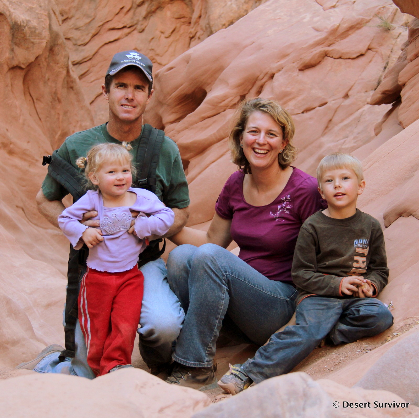
The rest of the week sped by with giving more talks, organizing and leading cave trips, attending talks, attending meetings, checking out cave cartography, admiring cave art, signing books (An Un-Conventional Murder, set at the Convention sold well), buying new cave gear and books, and talking to lots of cavers. I didn't get many photos, it felt like I was always running from one place to another. We stayed up late every night, and the early sunrise had us getting up early. I started to feel like these guys:

It was all so much fun. We ended the week with the Awards Banquet. Lots of prep went into it.

The food was delicious, and it was a super evening with about 800 cavers under the big top. Total registration was 1080 cavers, more than most everyone had expected. People came from around the world to remote Nevada. 

The next day we packed up and headed home and then met some scientists for a special cave tour of Lehman Caves to talk about history, microbiology, and more.

It was a super event. Thanks to Matt Bowers and all the Convention staff for putting on a successful convention!

Wednesday, July 20, 2016

Wheeler Cirque Glacier Area--Snow in July!

I was looking for some researchers who were planning to be up on the Wheeler Cirque Rock Glacier in Great Basin National Park. It's been a while since I've been way up on the rock glacier, so I welcomed the opportunity. Interpretive park ranger Andrew was doing a trail rove and joined me. As we kept hiking up, we found these beautiful pools of water about half-way up the rock glacier. I had never seen them before and pulled out my cell phone to photograph them. The color indicates that the pools are from glacial melt, and the location says that it's from the rock glacier melting. So the pools are really cool, but also a little sad, as that means the rock glacier is decreasing in size. (A rock glacier is ice covered by rock. The rock insulates the ice from melting. At least for some time. If the climate is warm enough, eventually all the ice melts, and just piles of rock are left behind. That's what has already happened to the lower part of the rock glacier.)

I saw splashes of yellow and went over to check out these flowers, which I had never seen before. (Still haven't had time to look them up--the last few weeks have been extremely hectic.)

We continued on the uneven footing and reached this sign: Rock Glacier, Elevation 10,800 feet. But it still continued!

So onward we went, up towards the real glacier, which is still covered with snow. For years I was skeptical that it was a real glacier. I worked a couple seasons up in Glacier Bay in Alaska, and we took glaciers pretty seriously. Our criteria were they had to be moving, at least an acre in size, and consist of ice. A few years ago I got a good look at the glacier from the summit ridge of Wheeler Peak and I saw that the glacier is at least an acre, although most of it is at a very steep angle; has some blue color, which indicates ice; and has crevasses, which indicates movement. In addition, the latest peer-reviewed publication about it (Bevis and Osborne) call it a glacier. Right now, it's snow-covered (see photo below), but that snow is melting rapidly and soon the blue and crevasses will be evident.

We saw many patches of rock on top of the snow. The Prospect Mountain Quartzite is rather crumbly, and that contributes to the rock glacier. It's not a good idea to get too close to the walls.

The snow was rather soft, and I thought it might be a nice change to have soft footing than the jumbly talus. So Andrew and I headed across the big snow patch at the top towards the glacier.

Eventually it got too steep, so it was time to sit down and slide. Whee! It was fun.

Andrew didn't look so sure, but he gave it a try.

I was keeping my eye out for Black Rosy-Finches on the glacier and was delighted to see three. They breed up in that area. They are mostly black with white patches on their heads. You can see a fuzzy one in the photo below under the "e."

We had come up the right-center part of the glacier and decided to go down the left side, where I had noted a continual patch of snow.

We found lots of green bugs--Hemiptera.

The continuous snow gave us an opportunity to practice our glissading skills. That takes some balance!

We came across some pink snow and I got excited again. This is watermelon snow, where bacteria are producing that color. They in turn become a food source for bigger creatures. Just like yellow snow, don't eat the pink snow.
We found the researchers on the way down the trail; they had been delayed. It was a good reconnaissance of the rock glacier area, and I was able to share with some birders that there were indeed Black Rosy-Finches present. Here's to topography that allows for visiting snow in July!

Sunday, July 10, 2016

Trail Runs in Great Basin National Park

 I usually run about three times a week, about two to three miles each time. I was feeling in a bit of a rut, so on Fourth of July, I decided to go for a longer trail run. The route I wanted to take was the Timber-South Fork Baker loop in Great Basin National Park, where we had taken a family backpacking trip last year. It's about 5.5 miles with an 1,800 foot elevation change. I figured it would be challenging, but I could get it done in about two hours. I packed a small pack and headed off.

I walked a lot, more than one-third of it, and I paused at the upper meadow to take a few photos, but I happily finished it in less than two hours! It felt so great to be in the outdoors, exploring. I didn't see a single other person on the trail the whole time, and the temperatures were great. I saw deer, beautiful flowers, and a variety of birds.

When I plotted the run in Google Earth, I found there's a cool feature that gives you an elevational profile. The Timber Creek side is a little steeper than the South Fork Baker side. (I drew the route in by hand, so it skips some of the switchbacks and trail meanderings.)

Today I was ready for another trail run. I wasn't feeling quite as energetic, so I thought I would try an easier loop, the Timber Creek-Pole Canyon loop. I parked near Grey Cliffs and started up through the campground. When I got to the boardwalk, I pulled out my phone. I could tell I might be taking more photos on this run!

The orchids were blooming. What? Orchids in the desert? Yep, they're small, but they do live here.

A couple swallowtail butterflies were happily pollinating them.

I continued up through the Baker Creek Campground and on the connector trail to the Timber/South Fork Baker Trailhead. Not far from there I paused to enjoy this monkshood flower.

I slogged my way up the trail, and found that the route over to Pole Canyon had changed, now going through the forest. The view from the meadow at the top was gorgeous, with Jeff Davis Peak in the background.

Looking towards Pole Canyon, paintbrush lit up the scene.

These cool, gnarled trees framed the trail.

Where the connector trail meets the Pole Canyon trail, someone had added info to the sign, writing that the Baker Creek trailhead was 1.5 miles away. The trail that goes to Upper Pole Canyon past the sign has virtually disappeared.

Much of the Pole Canyon trail was really overgrown. Not too many people hike here--but I did find one other hiker!

It took me two hours even to do the run/walk (I walked nearly half of it). I thought this was supposed to be easier! When I plotted it in Google Earth, I found it was at least 6.5 miles long (again, I'm sure I missed some switchbacks and trail meanders) and with an 1,800 foot elevation change! The average slope was easier, 10% versus 16%. But now I feel better about my time knowing that I went farther. The trail is a little lower elevation, so there's more oxygen, but it's also warmer. 
I'm really liking these weekly trail runs, I'm hoping I can do more throughout the summer!


Related Posts Plugin for WordPress, Blogger...

blogger templates